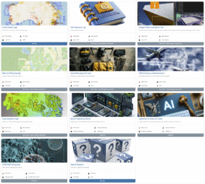
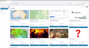
Discover the AEROphoria platform
See how AEROphoria supports your drone operations, with feature details, mission workflows, screenshots and downloadable brochures.
The app is currently available only in Australia. The product overview is available to international visitors.
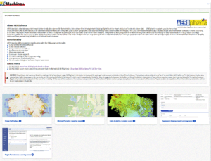
We develop AEROphoria at UXMachines in Western Australia to help drone operators plan missions, keep operational records and work with the data they collect. This page gives you an overview of the app. For a closer look at its features, visit the product page.

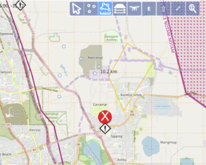
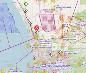
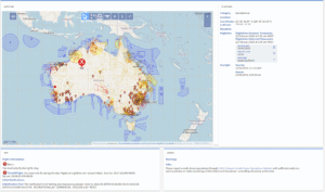
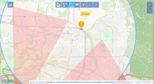
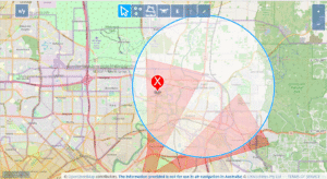
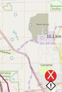
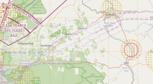
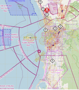
AEROphoria’s CASA-verified drone safety app provides maps and airspace information to support flight planning in line with aviation regulations. You can also integrate your own geographic data sources through customisable apps and adapt the data workflow to your operation.
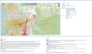
AEROphoria uses AI-enabled middleware to integrate and analyse your own data, helping you understand the results of a mission. You can customise the analysis platform through apps that fit your data workflow. Our team can build a solution around your needs, whether you want to simplify data handling or automate parts of your mission workflow.
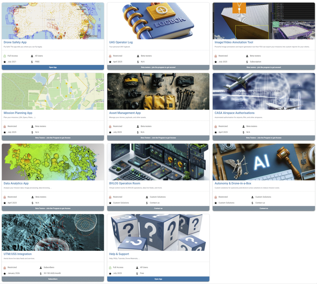
Using AEROphoria
Plan
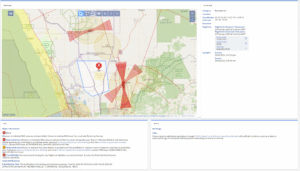
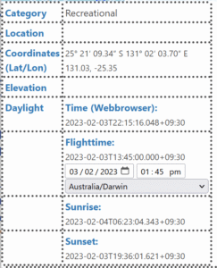
Review airspace and prepare drone missions with the safety map and mission planning tools.
Operate
Keep flight hours, aircraft records and operational information together with digital logbooks and asset management.
Analyse
Analyse the data you capture using configurable tools and a workflow that fits your mission.
Features
Practical workflows
Reduce duplicated paperwork and connect planning with operational records.
Built in WA
Owned and developed by UXMachines, a Perth-based company working towards drone autonomy.
Explore what’s available
Visit the product page for feature details, availability information and answers to common questions.