Drones and data analytics
Most of us know that drones can captures stunning images and videos, but did you know that they are an incredibly valuable tool for data collection?
Drones are like miniature aeroplanes but without a pilot inside to control them. Hence, they are called unmanned aerial vehicles (UAVs). When we think of these devices, we normally think of them as high-tech toys or something that is used by our defence forces. But they are used for so much more, and in recent times their commercial value had been made prominent. Unlike the big air crafts these devices can do so much more than fly or spy.
These devices capture, accumulate, and send data that businesses find hard to access physically. They are reforming the way industries get their information and data.
From supporting the industries like agriculture and mining to even the field of health. As they upgrade and expand their services it is important that businesses understand their importance and value for data collection and analytics.
How do they work?
They have an in – built system called GSI – A geographic information system. It operates using geographical science, in which the device conduct in depth analysis of the area. They capture high definition, multidimensional images, and videos of the location. It may pick up hundreds and thousands of images or videos to improve accuracy. Using these 3D mapping technique aids in providing the business with visual data. In fields such as agriculture, mining, and construction GSI mapping outlines the areas and clearly get images that even the human eye cannot capture. They use distinct types of sensory camera such as thermal cameras and electromagnetic energy (EME) sensors to capture data that would take a lot of effort and time for manpower to capture.
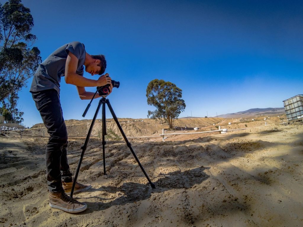
Usually, in construction architects conduct an extensive site analysis that may take several days or weeks to complete. This also involves a lot of labour force and efforts. The drone technology has made this process faster, effortless and even safer. It allows the business to devise solutions to problems much quicker. With the 3D mapping or laser scanners sensors enormous amounts of data can be collect in a matter of hours. In fact, sites are usually inspected more than once. Drones can track and monitor the developments of the construction efficiently. Frequent real time monitoring helps the business identify and solve problems quicker. It could also provide the business with different perspectives of the space, area or object. Hence, improving the final data product as a whole.
It is a very credible sources of information, especially when used for scale mapping. In agriculture, farmers use this technology to monitor their land and crops. They can easily determine the area of crops that needs attention due to natural causes and tend to the problem. This allows for them to identify and react to the situation more quickly and efficiently. This technology can even assist in the pre – planting process or soiling the seed and spraying pesticides. With the feature of thermal sensors and 3D mapping farmers can conducted in depth evaluations of their land. This technology improves the cultivation progress and reduces the stress famers face.
At large, this technology is extremely beneficial to the ecosystem. It could track wildlife, or the natural environment with minimal direct human contact, which is good for the ecosystem. Climate change especially has been a major concern currently. With this device, scientist can monitor the environment and try to perceive the causes and form solutions. It could help surveillance and collect data of forest lands to facilitate wildlife conservation or even reforestation.
Drones have transformed and revolutionised the way we collect and evaluate data. It is set out to improve business, industries and even the eco system overall.