End-to-End Aerial Drone Solutions: IT Systems, Missions, Analytics, and Autonomy
UXMachines Pty Ltd provides one stop end-to-end drone solutions – from mission planning, capture, image processing, to IT infrastructure. In collaboration with our partners we provide IT solutions that integrate AI and ML for image analysis and object detection for surveying, aerial observation, inspections, and targeted industrial solutions.
CASA has authorized UXMachines Pty Ltd to conduct commercial drone operations for RPAS aerial work. We are certified under CASA ReOC 7399, ARN 834101 for up to 25kg MTOW drone operations.

Aerial Drone Missions
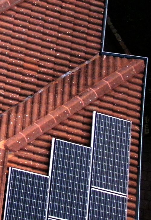
Asset Inspections
We inspect roofs, bridges, buildings, and critical infrastructure and create records for you, that you can make better decisions

Plant Health & Environment
We analyse crop health NDVI, environmental monitoring, irrigation, othomosaic, plant count, vegetation indexes

Search &
Rescue
Our equipment helps to find your lost puppy, search areas with lack of access, or in emergency situations

Aerial Surveying & Mapping
Cost efficient 2D/3D maps, thermal mapping, and topography for land management, re-design, and planning
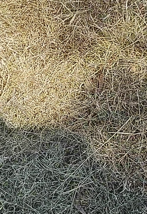
Stockpile Volumes and Monitoring
Volumetric measurements of stockpiles for inventory, monitoring, and stock calculation
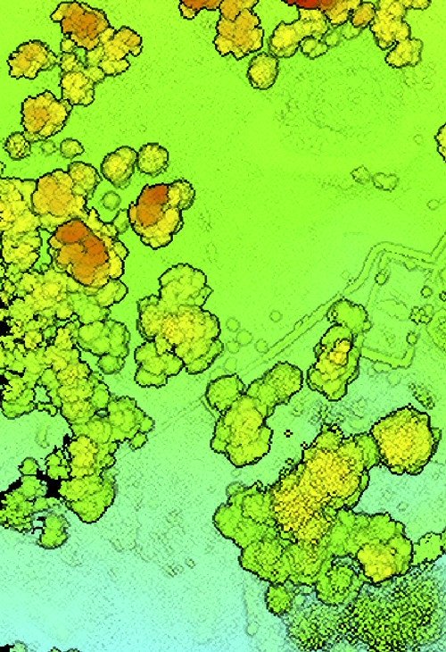
3D Models, LIDAR, Digital Twin
Inexpensive 2D/3D maps, thermal mapping, and topography for land management, re-design, and planning
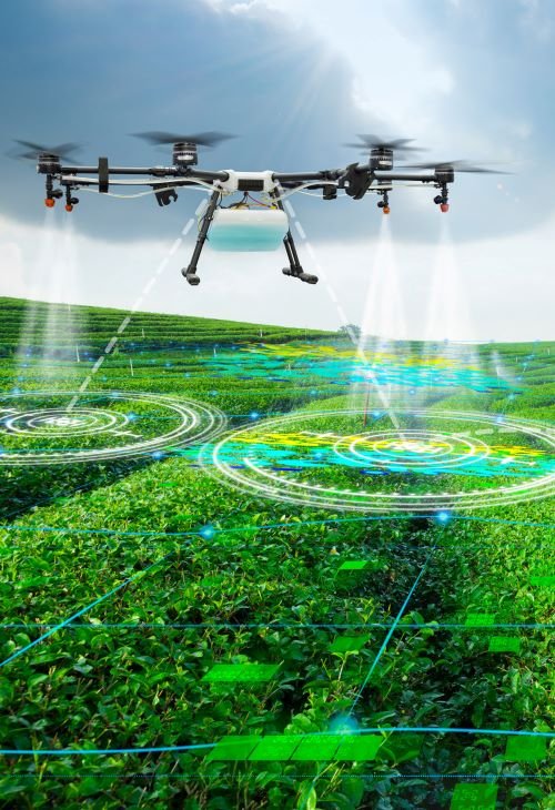
Custom Data Analytics
We are your partner in developing custom data analytics, software, and image processing for your use-case

Consulting
New to drones, but looking to reduce costs and project time through aerial drones? We help you to increase efficiency
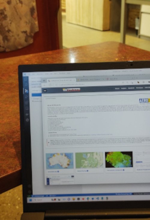
Digital Workflows
Data generation suitable for your workflows, CAD software, mapping software, analysis pipelines, and engineers
Highest Safety Standards and Quality in Operations
Our vision is to provide drone services complying to highest safety standards and even go beyond CASA’s safety regulations in our drone operations to ensure a safe operation. We have extremely thorough safety checks and processes in place for each single drone mission. We don’t compromise with quality and safety. We see ourselves as strong advocator of drone safety and CASA’s “Know Your Drone” safety promotion.
Customised Solutions for Defense, Agriculture, and Autonomous Duties
We customise solutions to fit to your needs: software, hardware, payloads, mission planning, analytics or flight controller software.
We are a team of highly trained software developers and experts in data analytics with years of experience. We find an AI empowered solutions to fit to your specialised needs.
We provide customized IT solutions and integrate these into your existing infrastructure to manage spectacular aerial imagery in 2D, 3D, or 360 and it’s analytics.
Autonomy & AI
We want to become Australian’s leading provider enabling autonomy for aerial drones, mission planning, task automation, and analytics.
IT Solutions & Data Workflows
Customised software fitting to existing IT infrastructure, and easy management of data workflows. We help in developing cost-efficient software solutions suitable for your IT infrastructure and data workflows.
Human Machine Teaming
Our vision is to team humans and AI empowered drones. We aim to release humans frum dull jobs as examining ‘useless’ drone video footage for hours. We help to reduce cognitive workload and give a manpower dividend to operators and pilots.
Custom Drones & Payloads
No payload available for your particular need? We prototype and develop custom drones and payloads. We are IT experts with a long track record to find a suitable solution for your use-case.
Data Analytics & Computer Vision
Automation is key in turning captured data to a valuable asset for intelligent decision making. We develop custom data analytics and computer vision solutions for your use-case. Among others, our analytics software counts sheep, follows moving objects, and detects events of interest.
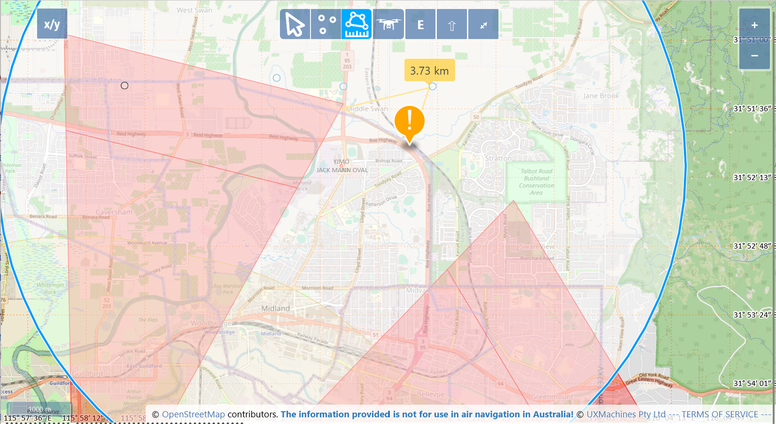
Take a look at our drone mission planning and safety app AEROphoria and sign up for a FREE account.
https://aerophoria.com
liability insurance, up to $20Mil. for specific projects
incidents and
accidents
flight hours in drones and aircrafts
years’ experience in aviation
years’ experience in IT industry, R&D, and software
State of the Art Equipment

DJI Matrice 300 RTK
Industry standard IP45 rated drone: 55 Minute flight time, 15m/sec maximum speed, up to 3 payloads, and full redundancy to ensure a safe flight

Camera + Thermal (Zenmuse H20T + P1)
20 MP 200x max. zoom camera with a 640x512px thermal sensor (H20T). The P1 payload has a full 45 MP sensor. Ideal for inspections, thermal, and photogrammetry.
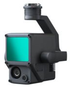
LIDAR (Zenumse L1)
High accuracy LIDAR solution for aerial surveying at a 10cm horizontal and 5cm vertical accuracy, 240000 points/per second, and up to 2km2 per flight.
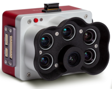
Multispectral: MicaSense RedEdge-P
High-res panchromatic bands, 2cm at 60m resolution, five spectral bands for vegetation indices, Near Infrared (NIR), RedEdge

KIWI-001
Self-built octocopter “UXM KIWI-001” (25kg weight category). Any payload and sensor of up to 5kg. Test platform for aerial drone tests, and missions.

Custom Drones & Payloads
In need for customised drones and payloads? We can help and develop in design, prototyping, and building a solution fitting to your needs.
End-to-End Solutions for aerial missions – from Mission Planning, Capture, Asset Digitalization, Analytics, and
Custom Software and Hardware
UXMachines Pty Ltd provides one stop end-to-end drone solutions – from mission planning, capture, image processing, to IT infrastructure. In collaboration with our partners, we are able to provide IT solutions that integrate AI and ML for image analysis and object detection for surveying, aerial observation, inspections, and targeted industrial solutions.
